uhug
Member
I‘m only retired... but not out of service!
Posts: 265
|
Post by uhug on Feb 8, 2011 8:21:31 GMT -5
 Flight Leg #7 from Winton to Lavarack with a “touch and go” at YCHT “Charters Tower”. 345lt AVGAS stored.. ready to go!  Rwy 14 - off I go at time 1.15pm  Salt pans and Outback! Inbound for RMD-NDB / Richmond-Airfield.  nearly CAVOK today   turning final 06 for a touch and go at “Charters Tower”  here I am! Picture: Courtesy of the tower-crew@YCHT  going up to 4500 ft AMSL  Well, this is definitive NOT Lavarack, this is Rwy 01 from Townsville (YBTL). I think the Townsville Approach Controller is not very much amused about VFR-Traffic on his approach pad.. there is a Virgin Blue in the vicinity  Lavarack is hidden on the right side. (Just follow the Highway)  This are the Barracks and the short and tricky Rwy 09/27 on the right. Easy boy - have a look first.  left base for 09.. a perfect camouflaged aircraft, my little Dragon.  .. long final 09 and nearly there.  .. short final and maximum heart rate: 120.. Andrew, I'm 56 !!  .. and touch town. I nailed the time. ;D  Boy oh boy - what an event .. but I made it. |
|
|
|
Post by paulvdberg on Feb 9, 2011 6:13:03 GMT -5
LEG 6: Alpha - Winton Over waypoint 1,  Crosswind landing... have made them better...   Local GAAR participant arriving. 
|
|
|
|
Post by flaminghotsauce on Feb 9, 2011 6:23:15 GMT -5
uhug, your #7 photo up there, climbing to 4500, with the rain falling to earth, is really neat! Good catch.
|
|
|
|
Post by paulvdberg on Feb 9, 2011 8:14:12 GMT -5
LEG 7: Winton - Lavarack Crosswind take-off at Winton... let's keep the Dak on the centerline, please!  Over the Richmond NDB, turning east again.  Small DC-3 over a BIG country.  Approaching Charters Towers for that planned touch & go. Eyes are straining to spot the airfield... must be somewhere on the north-east of town.  Found it, lined-up and fully prepared for landing.  Closing in on Lavarack. According a printed Google Earth "chart", the strip should be somewhere behind that hill. We are selecting for a 'direct straight-in' for runway 09 , hopping over the lower middle part of the hill, thus staying clear and below of the Townsville rwy 01 approach, visible on the left.  ..the plan worked: almost like the Kai-Tak approach, we made it "straight" in. White knockle - moment! ;D  ...as seen from the motorway next to the strip.   Parked near the temporary GAAR tower-trailer. 
|
|
|
|
Post by averdung on Feb 9, 2011 18:36:52 GMT -5
Some shots featuring Annushka, my beloved Russian friend:  We're off!  Spotter's view  On the ramp, awaiting the green flag  The interior is a little bit... Spartan  Facing the driving rain at Lady Elliot Island  Bush flying  Over water in THIS single is no problem  Australian twilight |
|
|
|
Post by Bill Von Sennet on Feb 10, 2011 16:07:02 GMT -5
Departing Alpha for Winton.  |
|
|
|
Post by gliderguider on Feb 10, 2011 21:11:15 GMT -5
The Old Girl looks grand  That looks more like a very straight par 5 golf hole than an airport  I wonder how tall those tress are?  Nail biting time  Ready to go-around if the braking on that grass is poor  Got a little out of shape at the last, but all-in-all a good job  A quick touch-and-go and I'm off on the final leg of this flight  Under the right conditions even a old helicopter looks beautiful  |
|
|
|
Post by Bill Hendrix (bgas046) on Feb 11, 2011 13:19:46 GMT -5
BGAS001 off my right wing on flight from YWTN to YLVK.  |
|
uhug
Member
I‘m only retired... but not out of service!
Posts: 265
|
Post by uhug on Feb 11, 2011 17:12:31 GMT -5
 Flight Leg 8 Lavarack (YLVK) to Chillagoe (YCGO) / 08 Feb 11 30°C and casual tenue  Again fullhouse of fuel: 345lt. and TOW: 1998kg - here I go!  Townsville, heading Magnetic Island  "Horseshoe-Bay and Village - we have Friends living here. He is a Pilot and we have had fun flights out of Mildura to Lake Mungo and White Cliffs.. Great Outbackflights.. flying clockwise now!  Great Palm Island with Airstrip  Happy NOT to be here the 3th. of Feb. 11 Mission Beach! Landfall of "Yasi"  South Johnstone River, among old ancient forest and hills!  .. an old history mining?  Approaching Chillagoe - final Rwy 35, quiet on CTAF 126.70  on short final 35..  .. and the wind is tricky: 049 / at 11KTS. Once again, 4" to early!  I need an "aussipub".. cheers |
|
|
|
Post by Bill Von Sennet on Feb 12, 2011 18:00:10 GMT -5
Making turn over waypoint RMD  Turning final for touch and go at YCHT Chartier Towers  Approach to YLVK Lavarak  |
|
uhug
Member
I‘m only retired... but not out of service!
Posts: 265
|
Post by uhug on Feb 13, 2011 6:15:39 GMT -5
 Although it was rather late yesterday at Chillagoe (I found an Aussiepub with friendly locals), here some impressions about Leg#9. Unfortunately another rainy day..  On the way to the active 17  Line-up, take off!  .. and airborn at time 8.05 am. Navigating to YMBA / Mareeba Airport  En route - clouds and rain. Not much to see..  On final Rway 28 YMBA..  .. for the mandatory touch and go!  Then, heading northbound over alien marshland towards..  .. the middle of the largest island of the Flinders Group, west of Cape Melville.  Flying to the south..  .. and exploring the beauty of the Coral Sea!  Well, after a while - Lizard Island comes in sight! Prepare for landing..  All set, very short final Rwy 11  Touch down in brash and spume!  After all, not a bad day! Target time: 186.7 - My time flown today: 187.58 My decision.. just sit back at the resort and relax with an ice cold beer or two! Cheers |
|
|
|
Post by jazzthom on Feb 13, 2011 16:19:00 GMT -5
|
|
|
|
Post by capflyer on Feb 14, 2011 19:20:38 GMT -5
Finally get to start catching up with some of my legs. I got pictures, but life hasn't given me time to edit and post them. So, here's leg 3: After takeoff from Bundaberg, our chase aircraft caught up with us near Woodgate and got this shot with the ocan in the background. 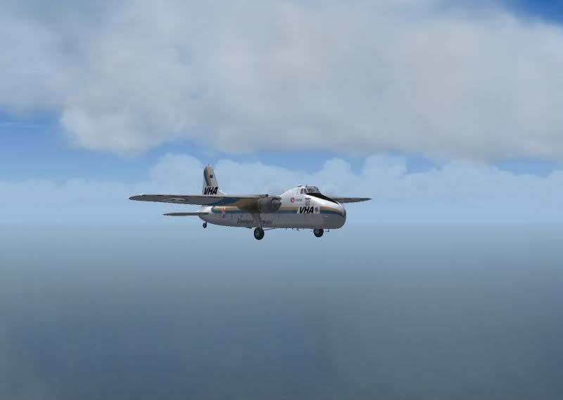 As we approached Hervey Bay, they took this picture of us over the Coral Sea looking at the city and Fraser Island. 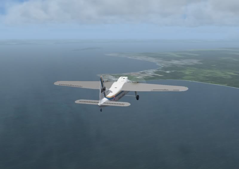 As we rounded the south end of Fraser Island, they took a couple of pics of us with the "stranded Ferry" in the background. 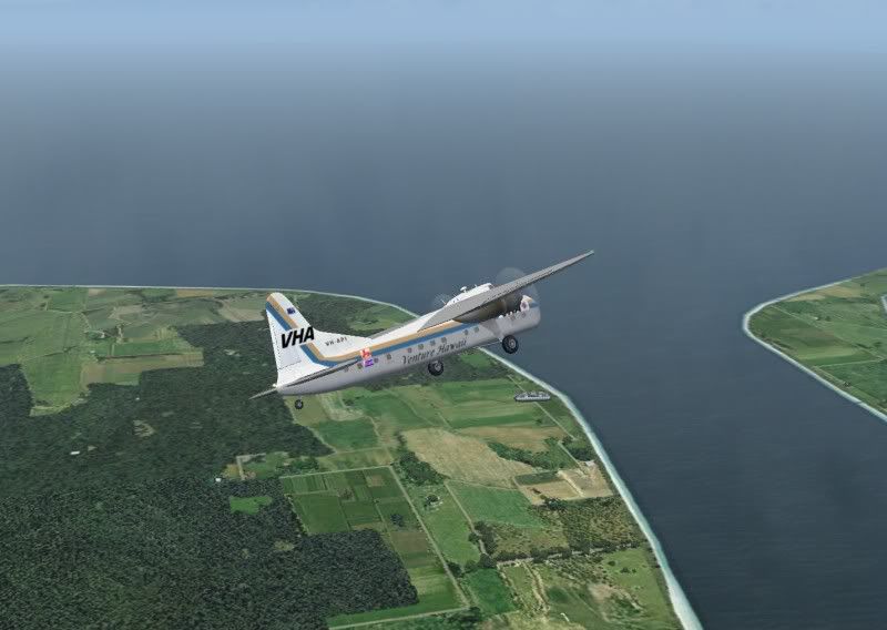 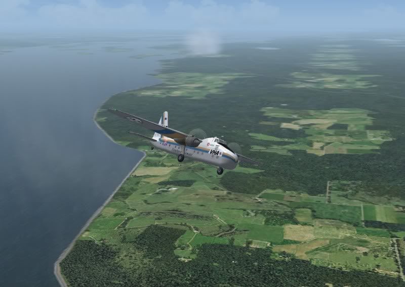 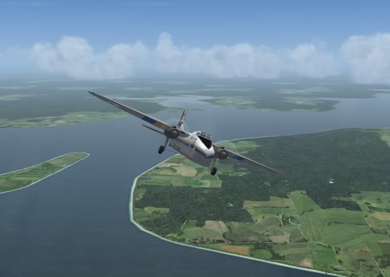 After that, they split off to run ahead to Hamilton Island. However, we got lucky at Lady Elliot Island where a news helicopter was covering the race. They sent us these pictures of the big Bristol turning base and final. 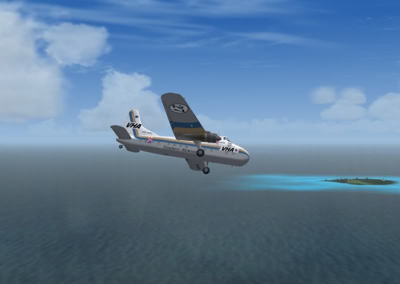 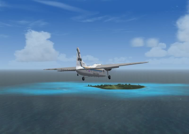 They then captured this picture of us as we rolled to a stop on the short grass strip. 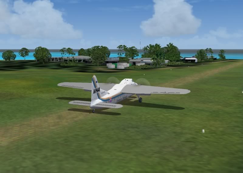 Once we got stopped, shutdown, and the ramps out to deliver some supplies and a generator to the island, we caught this picture of a DHC-6 on approach. They ended up landing long and going around for another try. 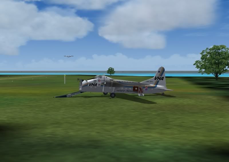 |
|
|
|
Post by capflyer on Feb 15, 2011 0:41:10 GMT -5
Well, here's Leg 4 from Lady Elliot Island to Hamilton Island. What a difference, a small cozy island resort and a big flashy island resort. As the day wore on, things got wet, and I mean really wet. 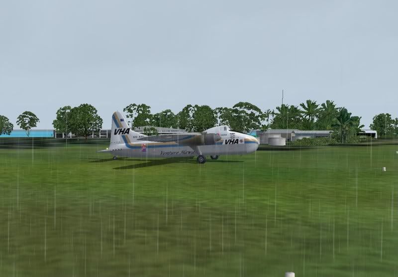 We taxied to the end of the runway and a brave soul took this picture while watching from the side of the runway  Once at the end of the runway, I snapped this shot real quick during the final power check. 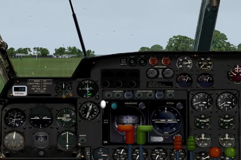 The News helicopter was up again, and got this picture as we lifted off. 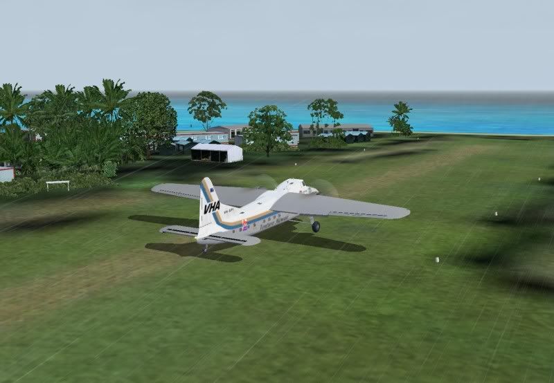 Once airborne, our chase plane tried to stay with us, but with the driving rain, he only got this pic before having to move off for safety. 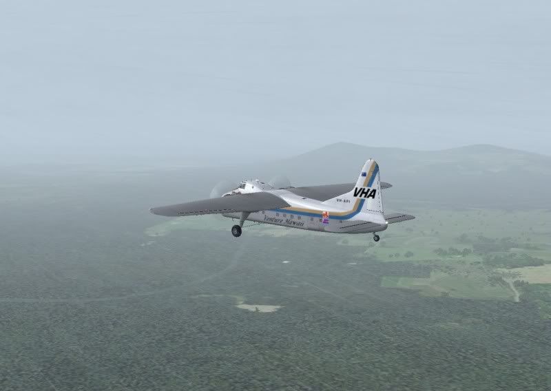 As we approached the hills, we saw the Boyne Valley, but decided due to the weather that going over was the best bet.  Our chase plane managed to get a shot of us as we went over the hills. 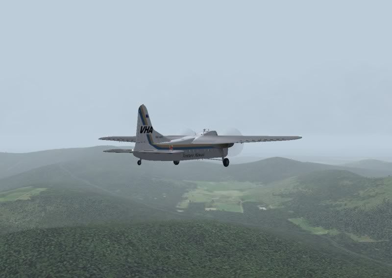 As we approached YWIS, the chase plane got this shot. 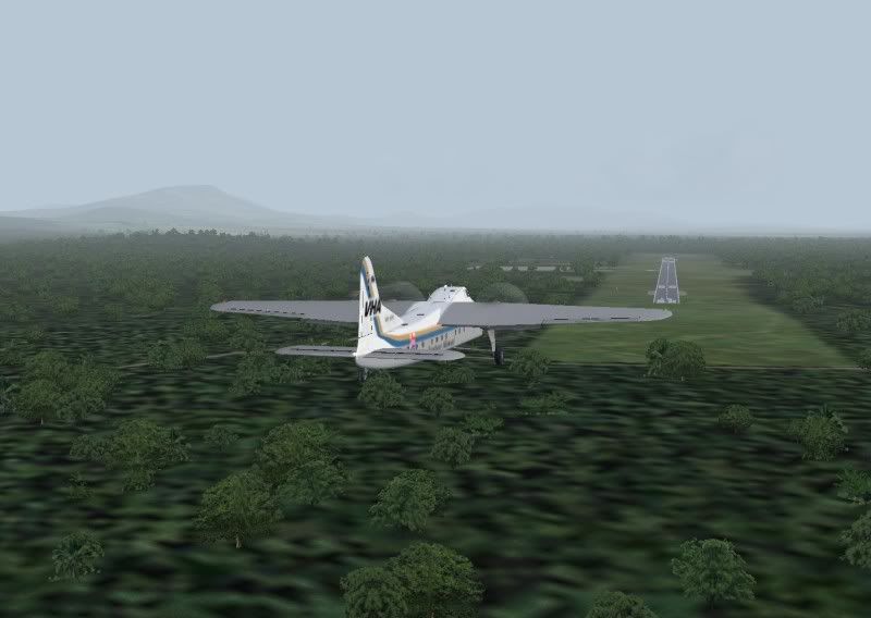 And as we departed (what a zoom lens he has, we were probably 1/4 mile behind him on this shot) 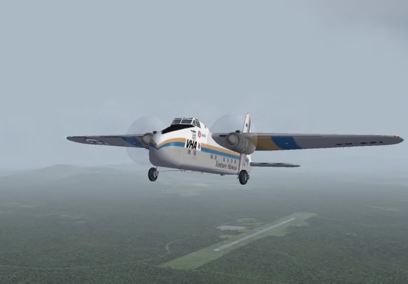 The weather continued to slowly improve as we headed north towards Hamilton Island. As we went "feet wet", this shot presented itself- 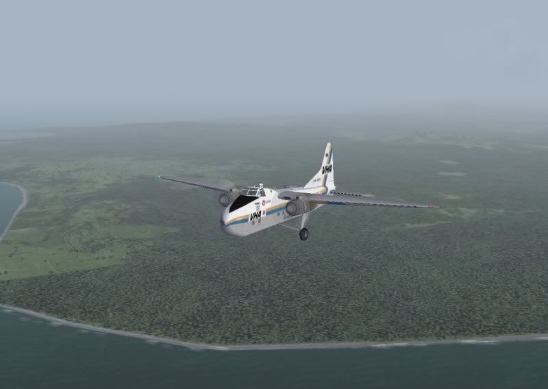 He decided to get an "extreme" closeup of us too -  As we entered the downwind for Hamilton Island with the tower, our chase plane decided to get a few "artsy" shots (or at least that's what he called them). 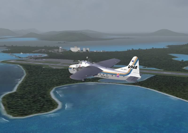 And on final - 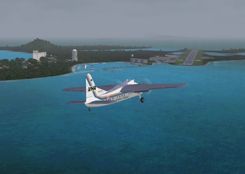 I put my camera up and got this haphazard picture while on final of the hotels. 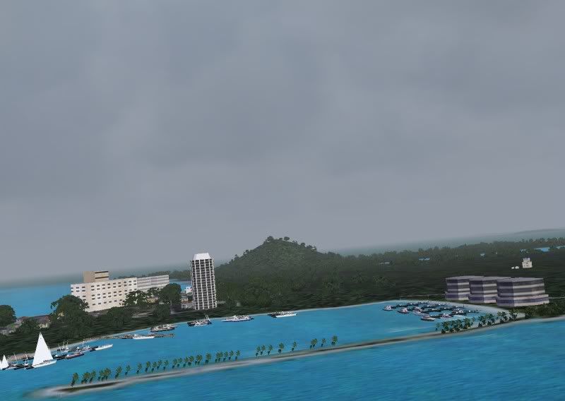 More in a few. |
|
|
|
Post by capflyer on Feb 15, 2011 0:41:48 GMT -5
We didn't get many pics on Leg 5 because of some turbulent air, but here's what we got. A pic of us climbing with Dent Island in the background -  Looking back at Hamilton Island 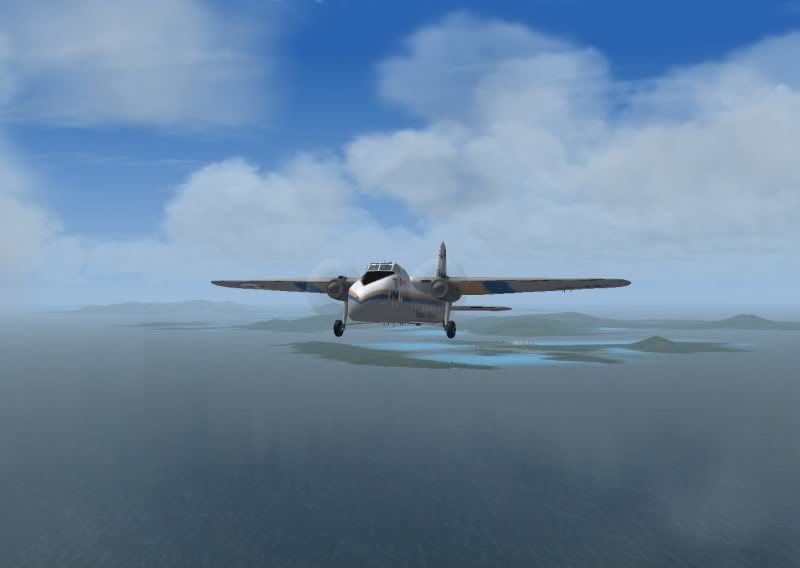 Uh oh, here comes more clouds....  Ohh, pretty.... 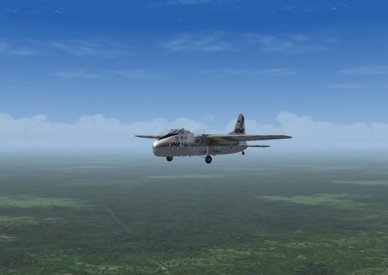 |
|


